Reorientating Ancient Barcino
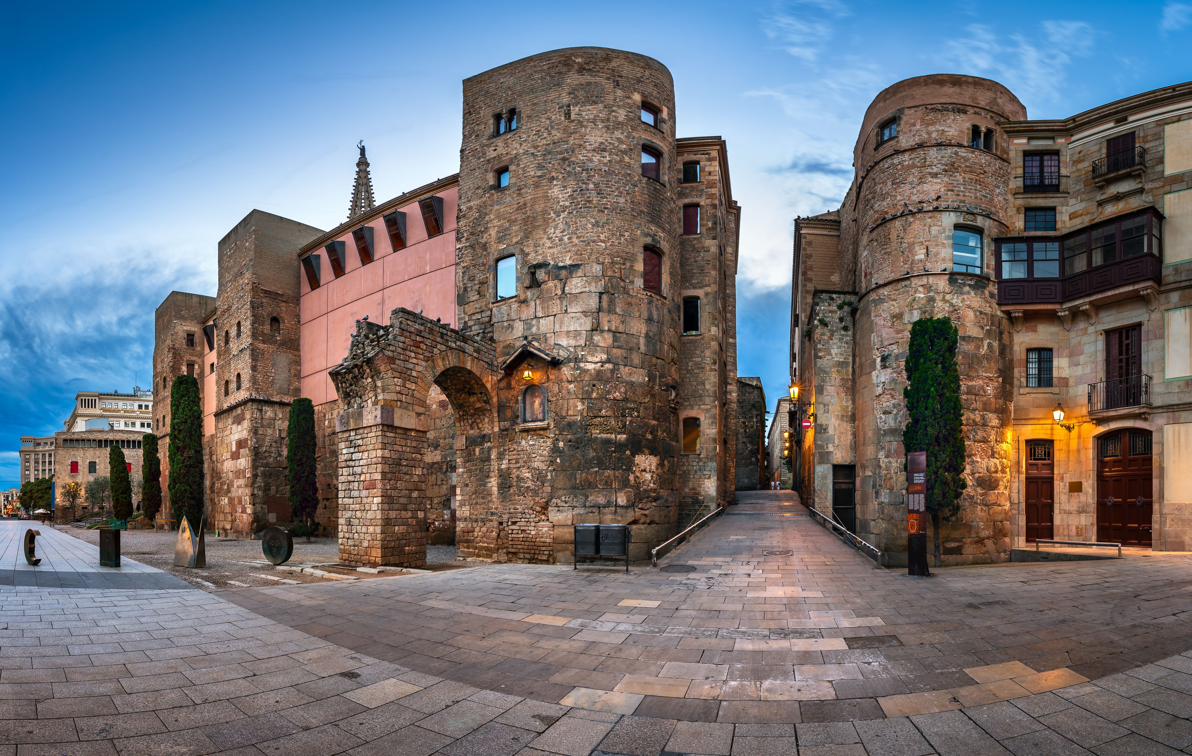
Archaeologists excavating beneath the Gran Hotel Barcino in Barcelona have uncovered a substantial section of the Roman forum of ancient Barcino, lying approximately 2.5 metres below the present street level. The work, carried out as part of a controlled urban excavation, revealed around 42 square metres of paving made up of large, carefully dressed stone slabs quarried from nearby Montjuïc. Stratigraphic analysis dates the surgave to the earliest phase of the colony; around 15 – 10 BCE, shortly after its foundation under Augustus.
Interestingly, the paving has clarified the orientation of the forum. Rather than aligning along the north-south cardo, as long assumed, it follows the east-west decumanus. The implications are quite substantial; the established plan of Barcino’s centre must effectively be rotated by ninety degrees.
In Roman urbanism, this distinction is fundamental. The decumanus was, by definition, the principal east to west axis of a city, intersected at right angles by the north to south cardo. This arrangement derived from Roman surveying practice and the division of land; it was applied with remarkable consistency across the empire. An east to west alignment also offered practical advantages; it improved the distribution of daylight, aided orientation by reference to the rising and setting sun, and reflected a broader cosmological order embedded in Roman planning.
As the forum served as the organising point of the urban grid, this revised orientation has wider consequences. The city’s layout must now be reconsidered, with streets previously identified as the principal axis open to reinterpretation. The positioning of key public buildings, including the basilica, temples, and administrative spaces, will also need to be reassessed. Earlier discoveries across Barcelona, from stretches of paving to architectural fragments, may take on new significance when viewed within this adjusted framework.
The evidence also points to a degree of flexibility in Barcino’s planning. Although founded as a planned colony, its layout does not appear to follow a rigid template. The slope of the terrain, the proximity of the coastline, and the configuration of access routes may all have favoured an east-west alignment, with practical concerns such as movement and drainage likely influencing the decision. It remains possible that earlier pre-Roman pathways shaped the colony’s layout, though there is as yet no firm archaeological evidence for substantial pre-Roman remains on the site.